
Hunterdon County GIS Mission Statement: It is the goal of the Division of GIS to establish itself as the lead agency of a County-wide GIS. The Divisions role is to coordinate and support the development and maintenance of GIS data, serve as a data clearinghouse, promote conformity and establish data development standards for all GIS users throughout Hunterdon County. |
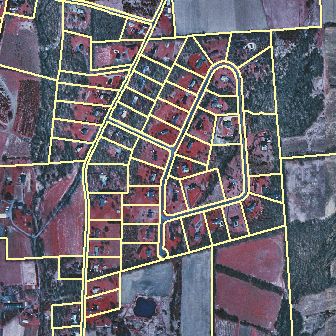 Hunterdon County Parcel Data |